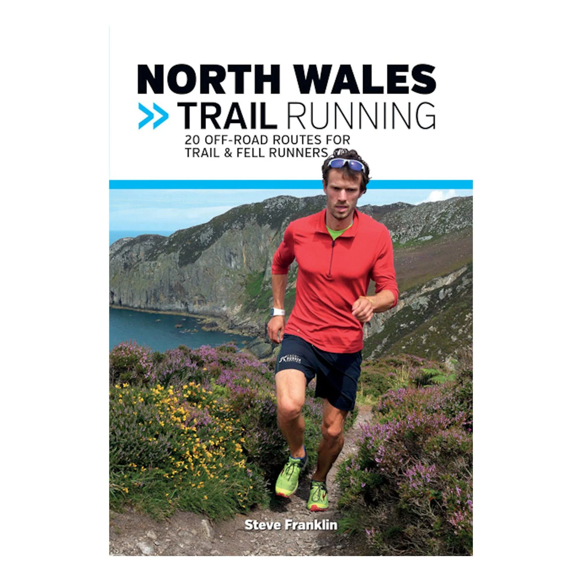
North Wales Trail Running
North Wales Trail Running is a comprehensive guide to off-road running across North Wales, including Snowdonia, Anglesey and into the Ll?n Peninsula and the Clwyds.
With 20 runs from 4km to 20.4km in length, this book is suitable for runners of all abilities.
North Wales has some of the most diverse terrain in the UK, from rocky outcrops and large cwms to steep-sided valleys and magical llyns. It is a Mecca for the adventurous runner, and home to the 104km Paddy Buckley Round.
In this book, author Steve Franklin has collected together many of his favourite runs, from low-lying loops around idyllic llyns and reservoirs, to serious hands-on-knees fell runs on some of Snowdonia?s biggest mountains. Summit Snowdon, Cadair Idris and Conwy Mountain, and discover quieter corners of the country around Cnicht, the Northern Carneddau and the Crafnant valley.
Each route features clear and easy-to-use Ordnance Survey 1:25,000 maps, easy-to-follow directions, details of distance and timings, and refreshment stops and local knowledge.
Product Information
Product Information
Shipping & Returns
Shipping & Returns
Description
North Wales Trail Running is a comprehensive guide to off-road running across North Wales, including Snowdonia, Anglesey and into the Ll?n Peninsula and the Clwyds.
With 20 runs from 4km to 20.4km in length, this book is suitable for runners of all abilities.
North Wales has some of the most diverse terrain in the UK, from rocky outcrops and large cwms to steep-sided valleys and magical llyns. It is a Mecca for the adventurous runner, and home to the 104km Paddy Buckley Round.
In this book, author Steve Franklin has collected together many of his favourite runs, from low-lying loops around idyllic llyns and reservoirs, to serious hands-on-knees fell runs on some of Snowdonia?s biggest mountains. Summit Snowdon, Cadair Idris and Conwy Mountain, and discover quieter corners of the country around Cnicht, the Northern Carneddau and the Crafnant valley.
Each route features clear and easy-to-use Ordnance Survey 1:25,000 maps, easy-to-follow directions, details of distance and timings, and refreshment stops and local knowledge.