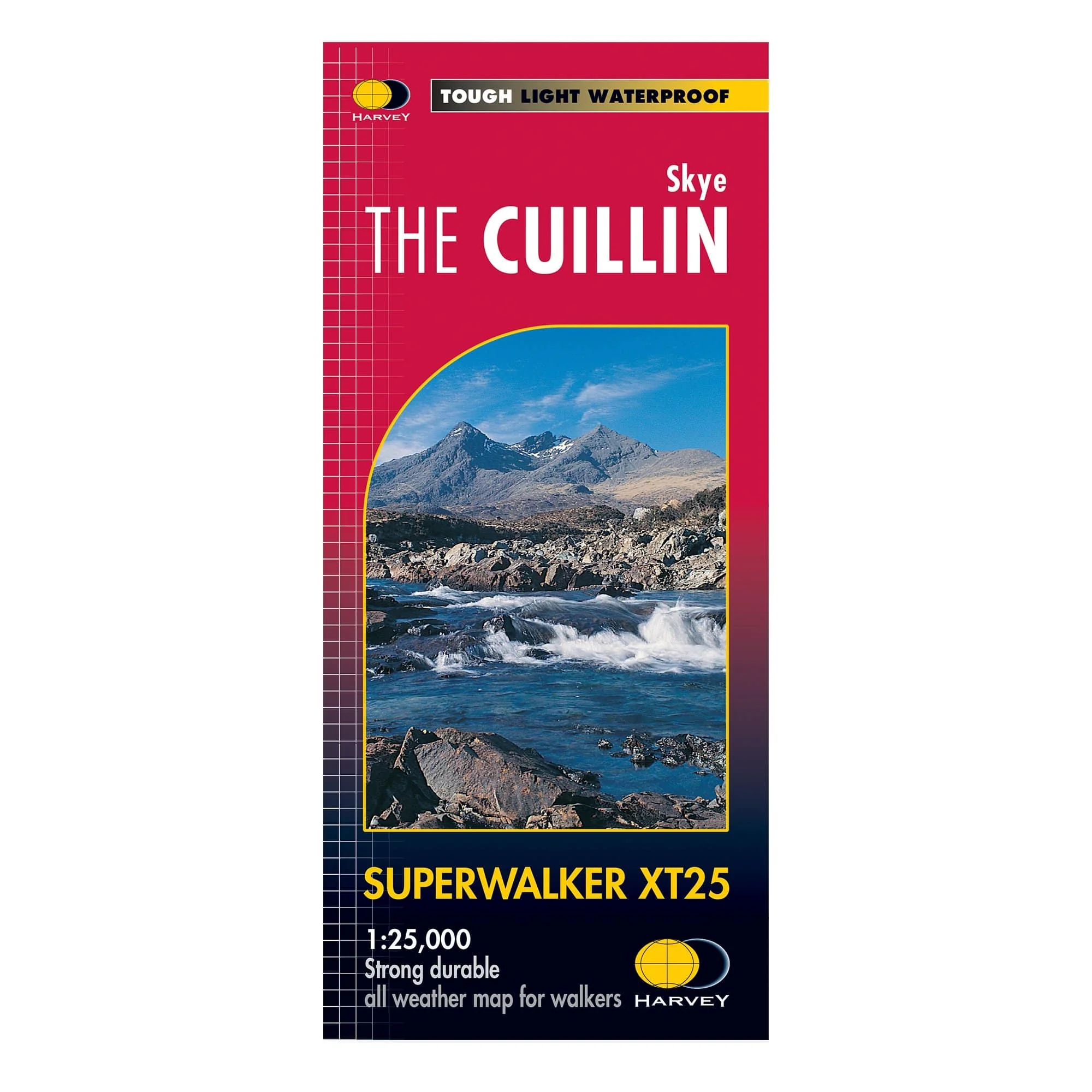
Harvey Superwalker: Skye the Cuillin XT25
The Skye Cuilin XT25 map covers the whole of the Cuilin Hills. There's also a magnified 1:12,500 map of the Cuilin Ridge and a diagram showing routes across or off the ridge.
Harvey Superwalker maps are lightweight, waterproof and tear-resistant maps in a 1:25,000 scale. They've been designed specifically for walkers with a simplified mapping based on original air surveys. This makes them clear and easy to read with only the features you need on the hill.
Product Information
Product Information
Shipping & Returns
Shipping & Returns
Description
The Skye Cuilin XT25 map covers the whole of the Cuilin Hills. There's also a magnified 1:12,500 map of the Cuilin Ridge and a diagram showing routes across or off the ridge.
Harvey Superwalker maps are lightweight, waterproof and tear-resistant maps in a 1:25,000 scale. They've been designed specifically for walkers with a simplified mapping based on original air surveys. This makes them clear and easy to read with only the features you need on the hill.